 |
GIS Day
GIS Day is held on the third Wednesday in November each year. Started in 1999, GIS Day provides an international forum for users of geographic information systems technology to demonstrate the applications of GIS and learn about geography. GIS DAY 2026Wednesday, November 18, 2026 Hosting a GIS Day Event? MAGIP members can request up to $200 for refreshments, supplies, or space. Submit your request through the form. After your event, be sure to send us:
2025 MAGIP GIS Day Map-a-thon!This year, we’re mapping for good with the Humanitarian OpenStreetMap Team (HOT) on Wednesday, November 19. Participate through our new MAGIP GIS Day Map-a-thon Hub, where you'll find mapping tutorials, live updates, and resources!
About the Map-a-thon: We're collaborating with HOT, a global community dedicated to creating free, open map data for humanitarian aid and sustainable development. Your contributions in OpenStreetMap (OSM) will make a difference in emergency response, infrastructure planning, and community resilience worldwide. Here's how to get involved:

View Past Contest Entries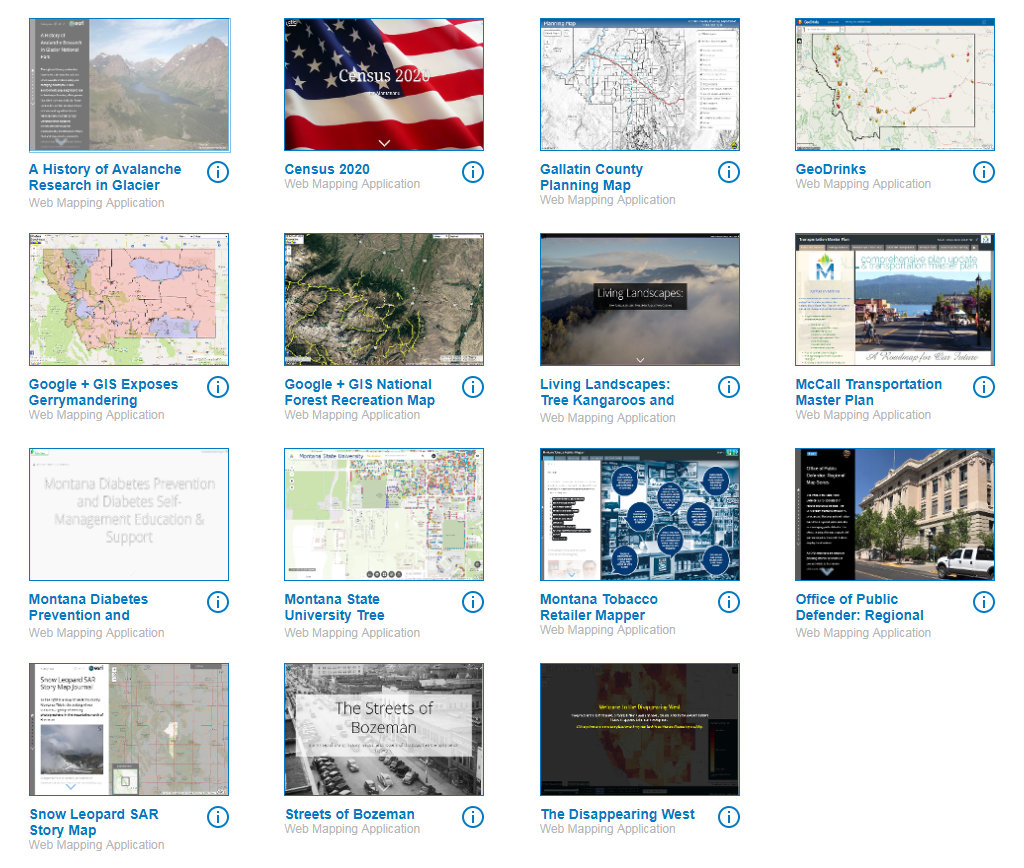
2024 MAGIP GIS Day Mapathon and Web Map Contest View more information about the Mapathon. Web Map Results
Map-a-thon attendees successfully mapped >1,500 miles of powerlines between 37 volunteers on GIS Day! Participants logged in across the state from Butte, Bozeman, Billings, Great Falls, Helena, Kalispelll, Missoula and Eastern Montana. Congratulations to our top five mappers: Jeff Hedstrom, Christine Kangas, Tessa Switzer, Donald Swanson, and Nate Wold. View Mapathon Results
2022 MAGIP GIS Day Web Map/App Contest Results
2020 MAGIP GIS Day Web Map/App Contest Results
2019 MAGIP GIS Day Web Map/App Contest Results
| LinksGIS Day Events
|
